About me
Welcome to the Crustal Deformation and InSAR Geodesy lab at Universidad de Chile!
I am an InSAR geodesist from Chile and assistant professor at the Department of Geology of Universidad de Chile.
My research focuses on the use of space geodetic data to understand a variety of crustal deformation processes that occur in volcanoes, faults, plate boundaries, glaciers, aquifers and salars. Specifically I use InSAR (Interferometric Synthetic Aperture Radar), GNSS (Global Navigation Satellite System), and DEM (Digital Elevation Models) that I complement with field observations, seismological, geochemical, and mineralogical data. Most of my research have focused to understand magma storage and eruption dynamics in volcanoes in subduction zones (Southern Andes, Central Andes, Aleutians, Vanuatu) and hot spots (Yellowstone, Galapagos, Hawai’i). In the past years I have focused on understanding the segmentation and strain accumulation of active faults and the energy release in earthquakes along the Andean fold and thrust belt and the Magallanes Fagnano fault zone, the plate boundary between the South America and Scotia plates. I have also focused on measuring the environmental impacts of groundwater pumping of lithium-rich brines in the Salar de Atacama basin (note on the ESA website). You can check out a video and another video of my research.
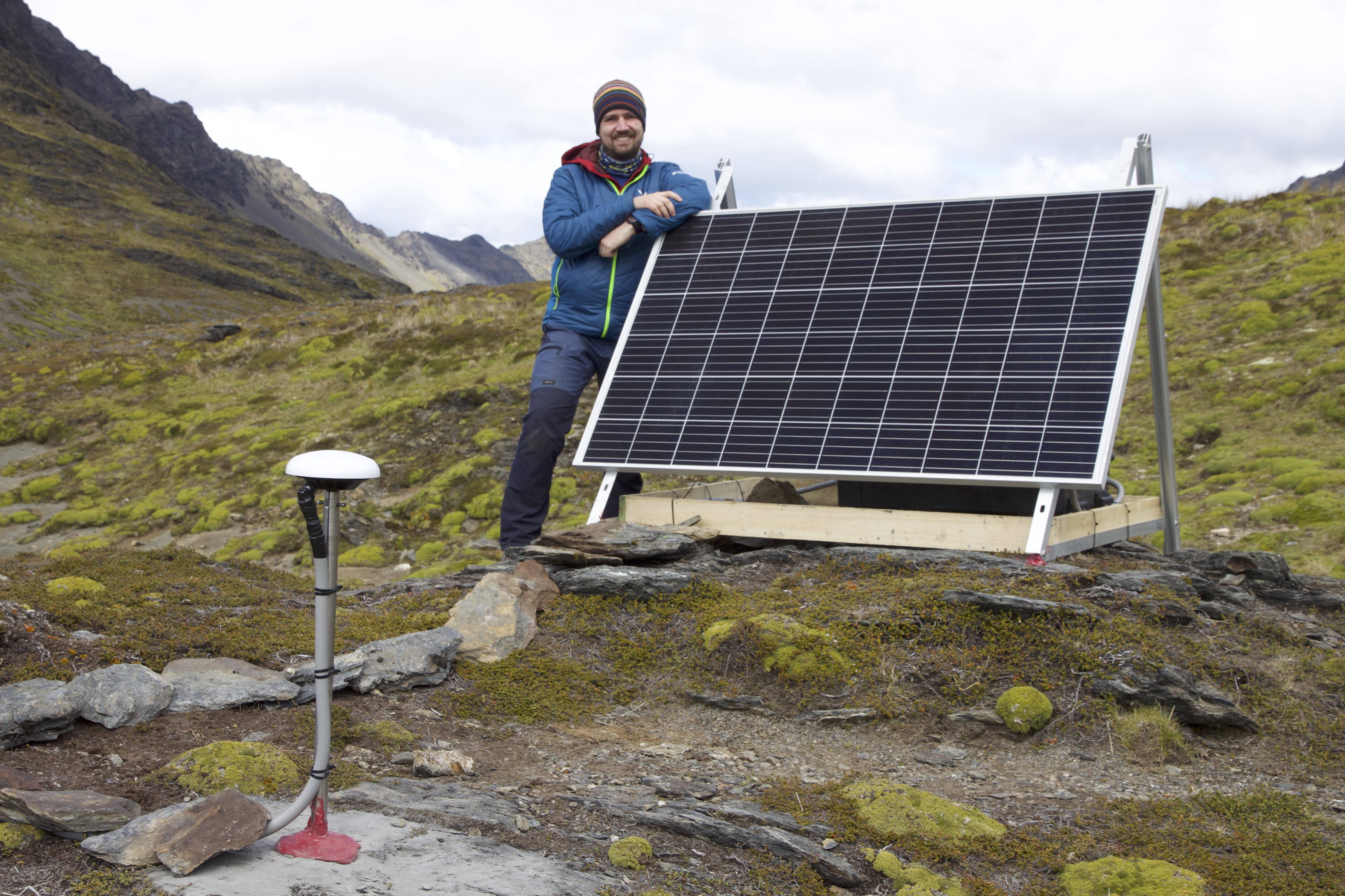
Deploying a GNSS station in southernmost Patagonia to study the Magallanes Fagnano fault zone, January 2023.
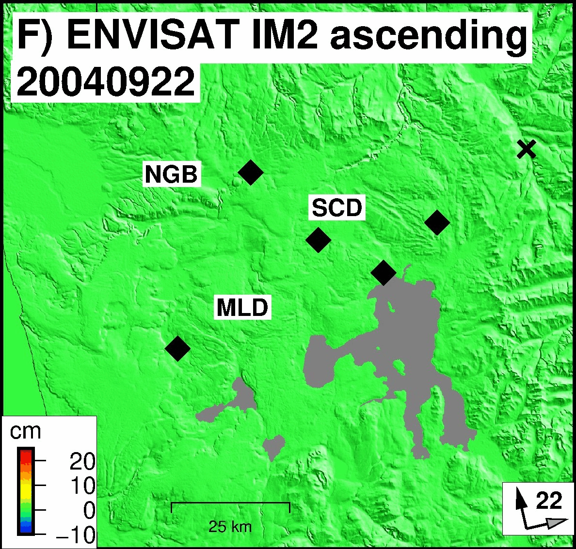
Uplift and subsidence at Yellowstone caldera during 2004-2009 recorded by the ENVISAT satellite (Delgado and Grandin, 2021).